

Converting reality into usable data starts with a scan, but the real challenge is making that data practical. Point cloud software is what allows surveyors, engineers, and architects to turn millions of 3D points into floor plans, elevations, or full CAD drawings. Without the right tool, projects stall under heavy datasets, manual tracing wastes staff hours, and outsourcing eats into margins.
Some tools focus only on viewing or cleaning raw scans, while others go further by producing accurate CAD deliverables. For survey teams trying to streamline production, this difference is critical. That’s why understanding the range of point cloud to CAD options is so important, from simple viewers to advanced scan to CAD workflows that save time and keep projects profitable.
What Is Point Cloud Software?
Point cloud software is designed to help surveyors and engineers work with 3D datasets captured by laser scanners. These datasets, often stored in formats like E57 or FLS, contain millions of points that map the surfaces of buildings, sites, or objects in precise detail.
While point clouds are rich in data, they are not practical deliverables on their own. Architects, contractors, and engineers usually need CAD drawings in DWG format that are clear, editable, and standardized across projects. Point cloud software bridges this gap by making it possible to visualize, clean, and convert scans into usable outputs.
Not all tools serve the same purpose. Some are built only for viewing or inspection, while others provide advanced processing functions such as cleaning or registering multiple scans together. A newer category goes further, software that creates CAD drawings directly from point clouds. This last type is often called scan to CAD software, and it is transforming how survey teams produce deliverables. You can see a complete breakdown of the process in our point cloud to CAD guide.
Types of Point Cloud Software
There are three main categories of point cloud software that surveyors and engineers use today. Each serves a different role in the workflow, from basic inspection to creating final CAD deliverables.
Point Cloud Viewers
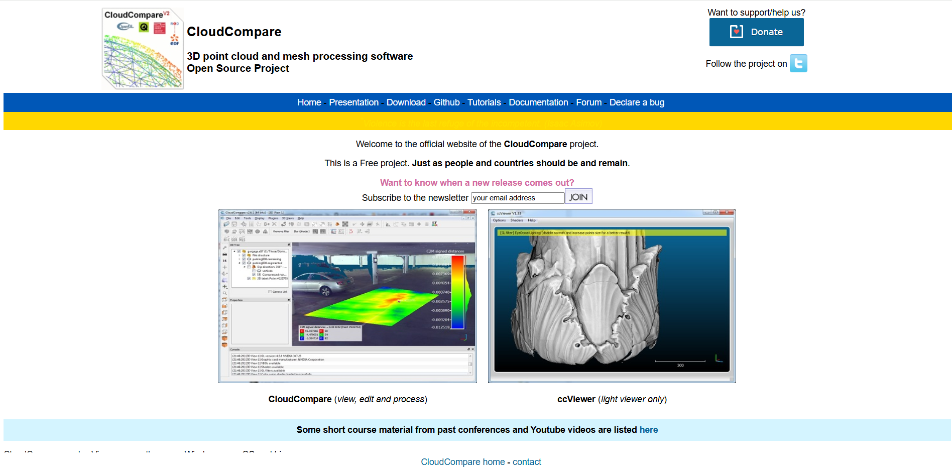
These are the simplest tools. A viewer allows you to open, explore, and measure scans, making them useful for quick site checks or client presentations. However, they cannot produce deliverables like CAD drawings. Popular free viewers include CloudCompare and Leica TruView.
Point Cloud Processing Software
Processing tools handle tasks such as registering multiple scans together, cleaning noisy data, and preparing files for downstream use. Programs like Autodesk ReCap or Bentley Pointools are common in this category. They are excellent for working with raw point cloud data but are not optimized for producing 2D CAD drawings that most clients require.
Scan to CAD Software
This newer category is built specifically to convert point clouds into CAD deliverables. Tools like Nest3D integrate directly with AutoCAD, BricsCAD, and ZWCAD, allowing teams to generate DWG drawings that follow their templates. Compared to manual tracing, scan to CAD software can cut drafting time by more than half. You can see how this works step by step in our scan to CAD workflow guide and our overview of AI point cloud to CAD.
Popular Point Cloud Software in 2025
Surveyors and engineers have a wide range of point cloud software to choose from. Below is an overview of the most popular tools in 2025, grouped by category. This mix of free, paid, and specialized options shows how different solutions serve different needs.
Point Cloud Viewers
CloudCompare (Free, Open-Source)
One of the most popular free viewers. Ideal for students and hobbyists who need to explore or measure scans without investing in paid software. Lacks CAD deliverable features.
Leica TruView
Designed for easy sharing and visualization of Leica scans. Useful for client presentations or site reviews, but limited when it comes to drafting.

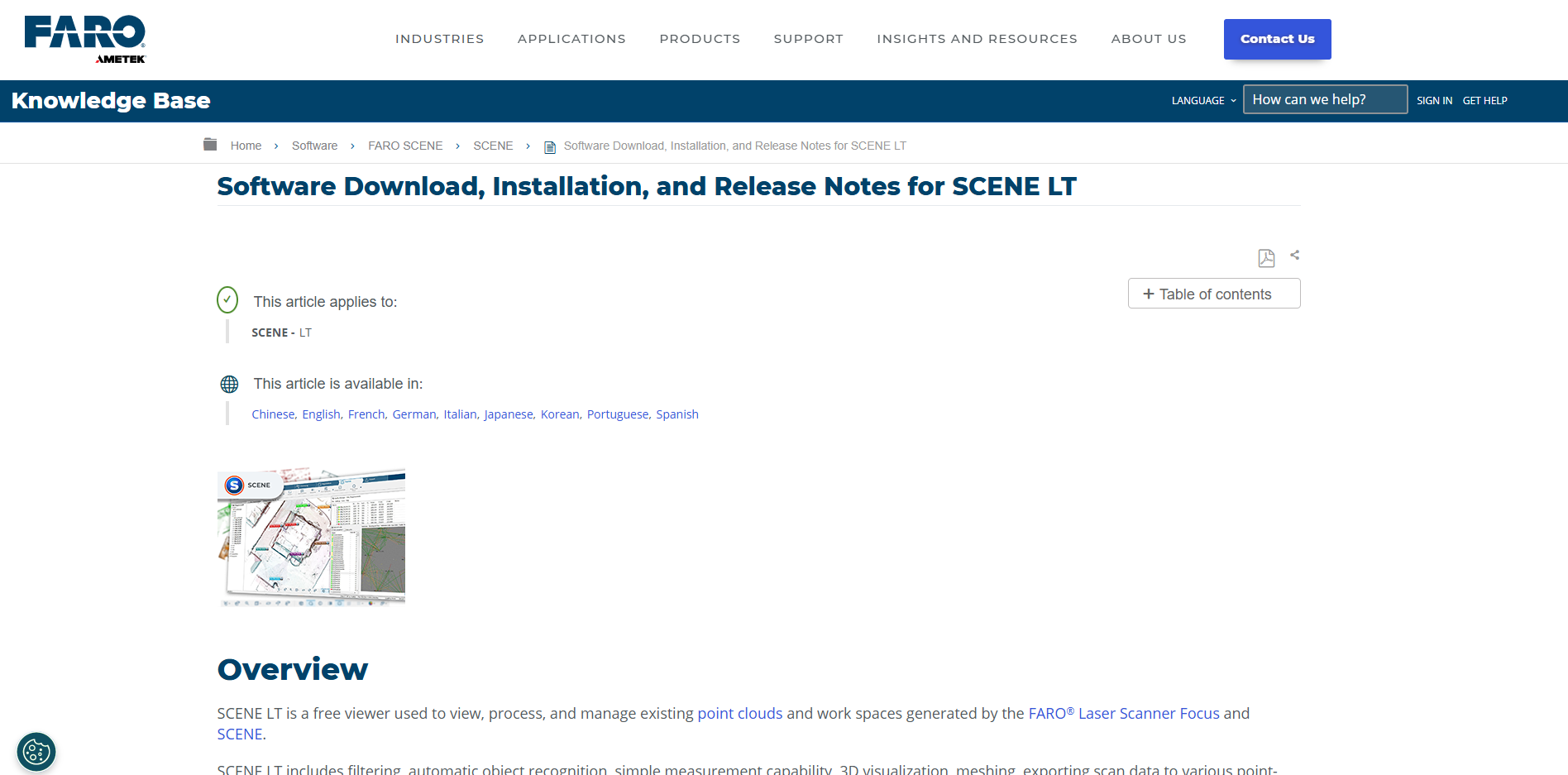
Faro Scene LT
A lightweight viewer for Faro scanners. Good for inspection and measurements but, like other viewers, not built for producing drawings.
Point Cloud Processing Software
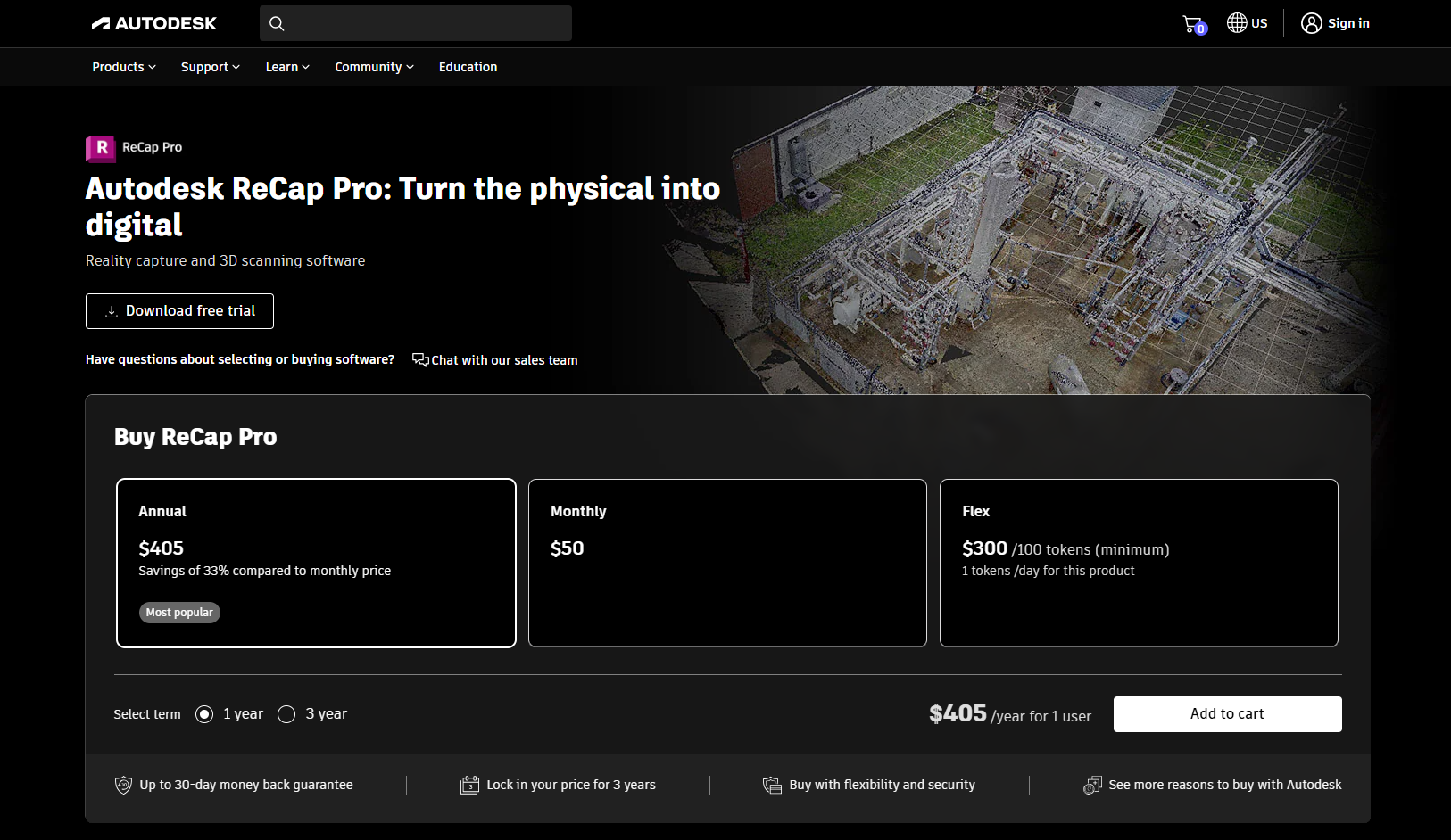
Autodesk ReCap
Widely used for cleaning and registering scans. Integrates well into Autodesk ecosystems, making it popular among teams that already use AutoCAD or Revit. Not optimized for 2D CAD drawing creation.
Trimble RealWorks
Known for robust registration and modeling workflows. A strong option for preparing point clouds before exporting to CAD tools.

Scan to CAD Software
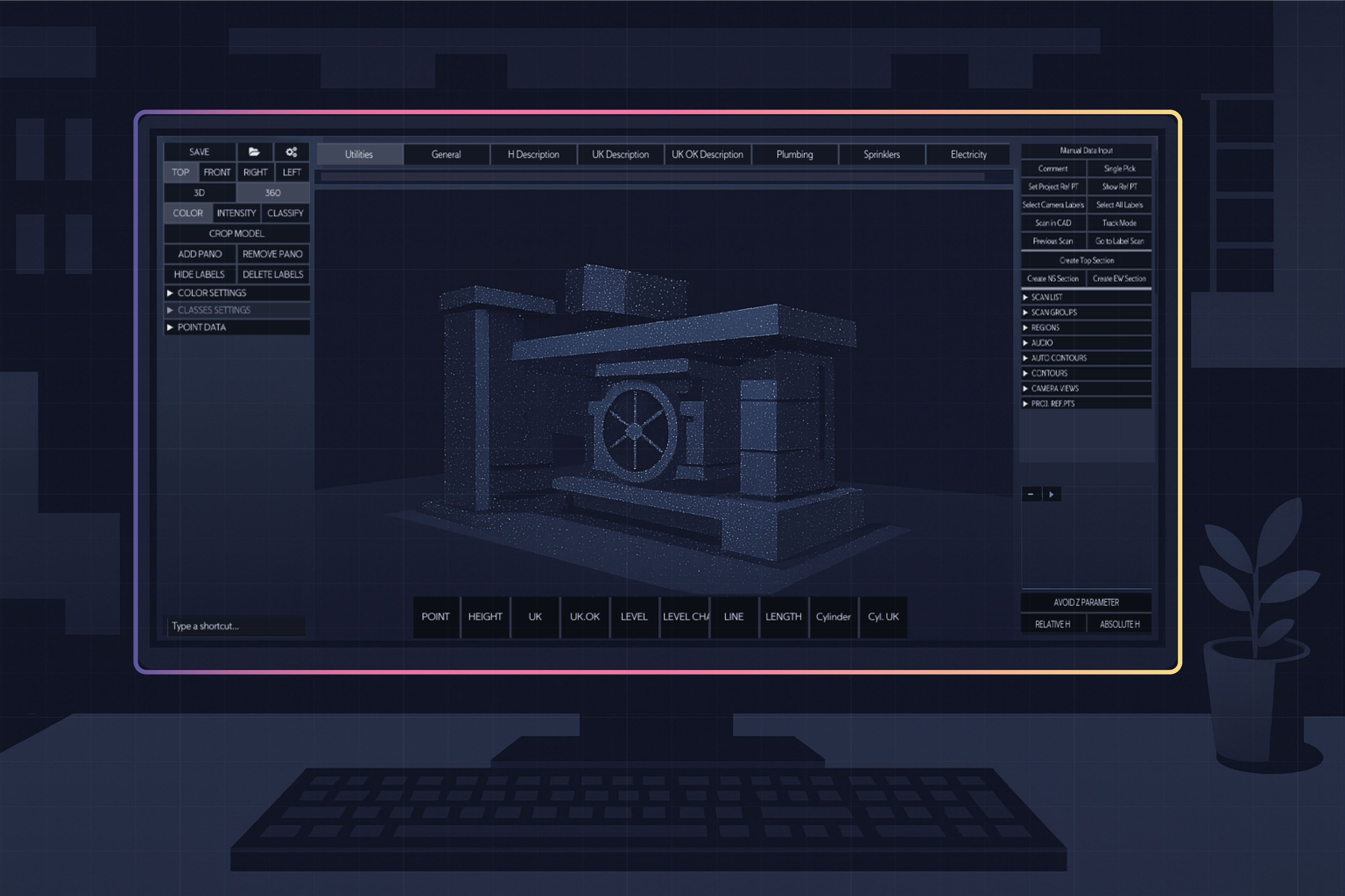
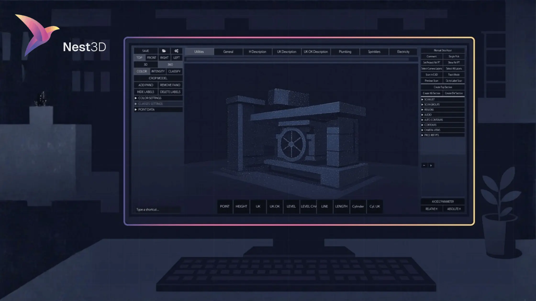
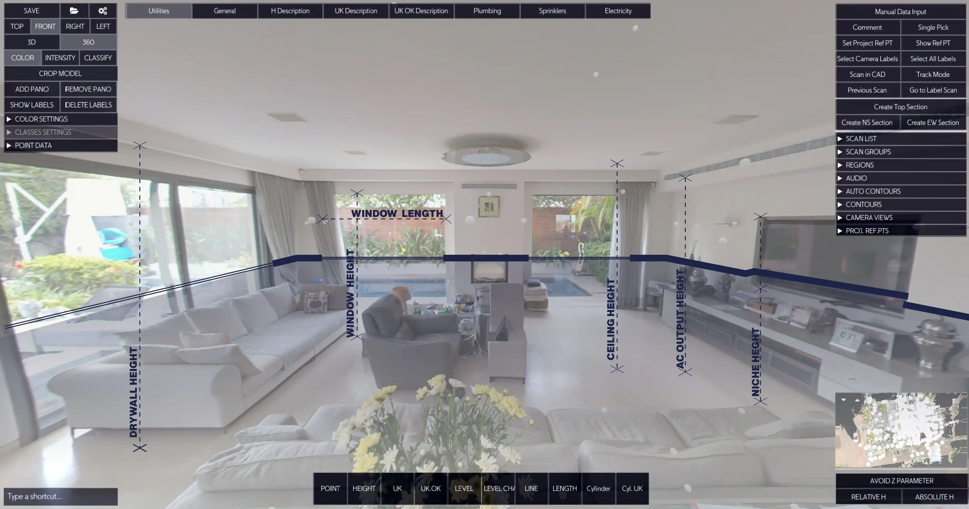
Nest3D (AutoCAD, BricsCAD, ZWCAD Integration)
Purpose-built for producing CAD deliverables directly from scans. Lets teams apply DWG templates, extract features visually, and cut drafting time by up to 60 percent. Considered one of the best point cloud software options for firms focused on efficiency and accuracy.

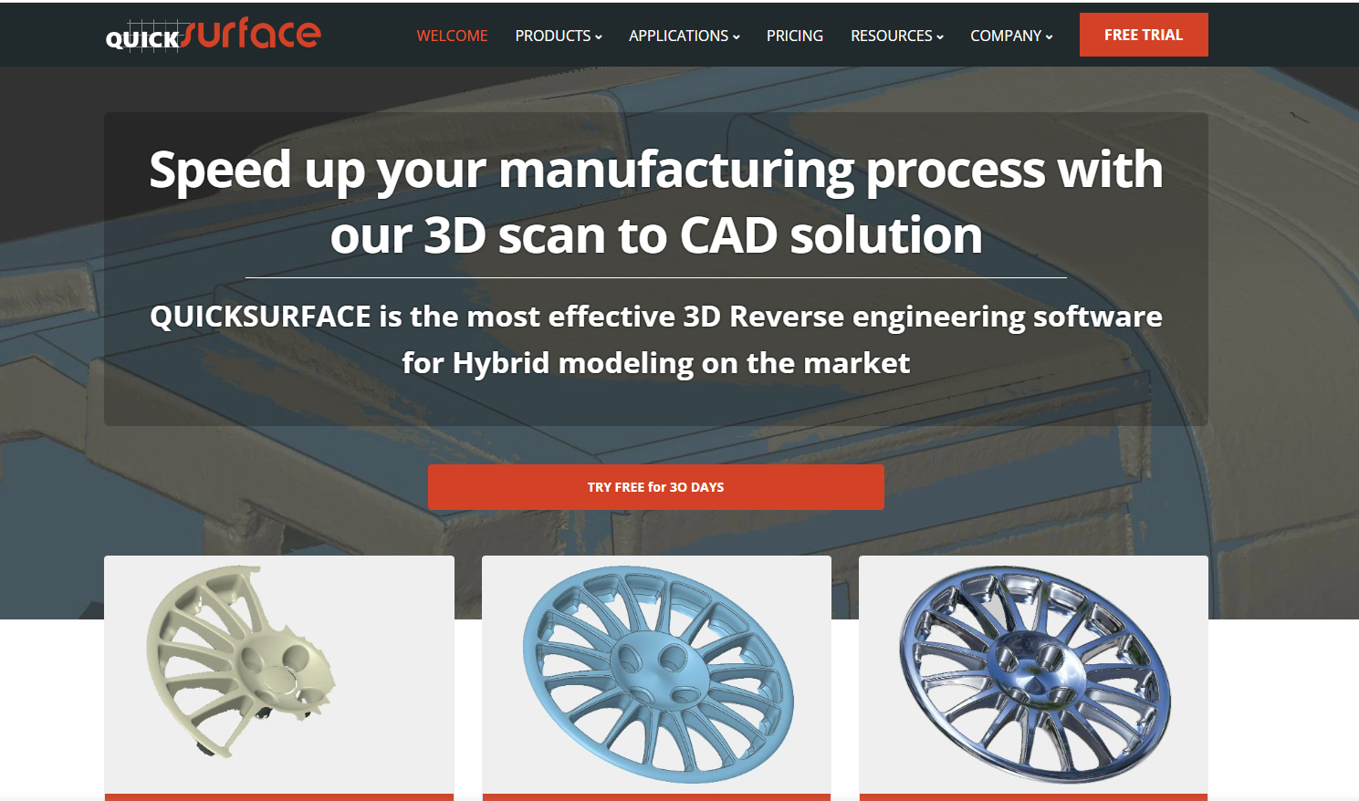
QuickSurface
A leading scan-to-CAD solution known for fast, intuitive reverse engineering. It converts 3D scan or mesh data into editable CAD models with tools for extracting features, fitting surfaces, and maintaining design intent. Ideal when you need both precision and speed.
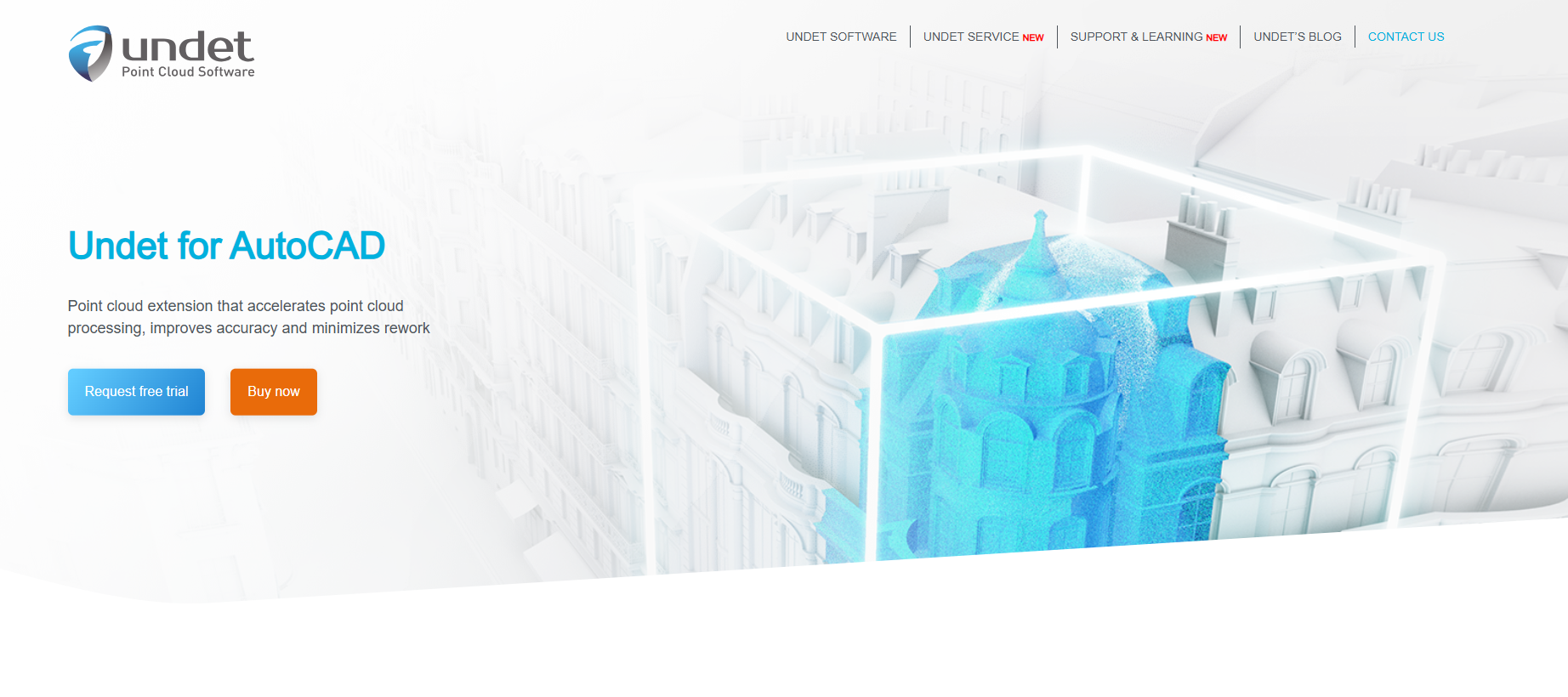
Undet for AutoCAD
Provides tools to visualize and draft from point clouds inside AutoCAD. Less automated than Nest3D but integrates closely with Autodesk workflows.
Point Cloud Software Comparison: Viewers, Processing, and Scan-to-CAD
Choosing the best point cloud software depends on your end goal. Some tools are great for quick inspections, others focus on data cleaning, and a few are designed to generate CAD deliverables directly. The table below shows how viewers, processing tools, and scan to CAD software compare at a glance.
Free vs Paid Point Cloud Software
Free tools are useful when you only need basic viewing or light processing. They are good for quick inspections, student projects, or small datasets where performance and support are not critical. Expect navigation, simple measurements, clipping, and sometimes limited registration. What you will not get is consistent DWG outputs, automation, or reliable support.
Paid options matter when deadlines, accuracy, and repeatable deliverables are on the line. The best point cloud software for professional teams includes faster engines for large datasets, batch tools, quality controls, and direct CAD integrations. If your goal is to produce clean DWG drawings, paid scan to CAD software will save more time than it costs.
Use free when:
- You need quick visual checks or stakeholder reviews.
- Datasets are small and performance is not a blocker.
- Deliverables do not require DWG or strict CAD standards.
Choose paid when:
- You deliver DWG drawings regularly and must follow company templates.
- Projects are large and you need speed, stability, and professional support.
- You want automation that reduces manual tracing and revisions.
For teams focused on deliverables, the best starting point is our point cloud to CAD guide, which explains how conversion works in detail. You can also see the scan to CAD workflow step by step, or explore how AI point cloud to CAD tools are changing project economics.
How to Choose the Right Point Cloud Software
Selecting the right tool depends on what you want to achieve. A viewer may be enough for quick checks, but survey firms that deliver DWG drawings to clients need more than basic inspection. When evaluating point cloud software, consider the following factors:
1. End Goal
Decide whether you only need visualization, cleaning, or full CAD deliverables. If your workflow ends with 2D drawings, you will need scan to CAD software rather than just processing tools.
2. CAD Integration
Check how well the tool works with AutoCAD, BricsCAD, or ZWCAD. Direct integration avoids time-consuming exports and helps you maintain your CAD templates.
3. Accuracy and Precision
The software should preserve the accuracy of your scan data and allow you to apply tolerances. Poor alignment or downsampling can lead to costly mistakes later in the project.
4. Speed and Efficiency
Survey teams often report that manual tracing adds days to every project. Look for automation features that cut drafting time by half or more.
5. ROI and Costs
Balance the upfront price against time saved and outsourcing avoided. Paid software often delivers strong ROI by reducing staff hours and project delays.
A simple way to frame the decision is:
- Viewers → best for inspection.
- Processing tools → best for cleaning and registering data.
- Scan to CAD software → best for creating usable DWG deliverables.
For examples of how this plays out in practice, see our scan to CAD workflow or explore the role of AI point cloud to CAD in automating repetitive tasks.
Where Nest3D Fits In
Most point cloud software focuses on either viewing or processing scans. These tools are useful for exploration or cleaning data, but they stop short of producing deliverables. Surveyors and engineers still end up redrawing linework manually or outsourcing the job, which slows projects and drives up costs.
Nest3D is built specifically for point cloud to CAD conversion. Instead of stopping at visualization or registration, it allows teams to:
- Import scans in E57 or FLS formats.
- Work directly inside AutoCAD, BricsCAD, or ZWCAD.
- Apply company DWG templates automatically.
- Extract features visually in a 360° workspace.
- Deliver accurate drawings up to 60% faster than manual methods.
Survey firms using Nest3D consistently report lower outsourcing costs, higher accuracy, and smoother team collaboration. To see the full process step by step, review our point cloud to CAD guide or learn more in the scan to CAD workflow.
FAQs About Point Cloud Software
Conclusion: Choosing the Best Point Cloud Software
Not all point cloud software is built for the same purpose. Viewers are helpful for simple inspections, processing tools are essential for cleaning and registering scans, and scan to CAD software delivers the DWG drawings that clients actually need.
For surveyors and CAD teams, the choice comes down to efficiency and accuracy. Free tools are fine for quick checks, but professional projects demand software that saves time, reduces outsourcing, and produces reliable results. That is why many firms are moving toward dedicated point cloud to CAD solutions that integrate directly with AutoCAD, BricsCAD, and ZWCAD.
If your goal is faster drafting, consistent standards, and measurable ROI, investing in the right software is no longer optional. Solutions like Nest3D prove that survey teams can cut drafting time by up to 60 percent, lower costs, and deliver better outcomes to clients.

Turn Point Clouds into CAD in Seconds
Cut drafting time by 60 percent and deliver accurate DWG drawings without manual tracing. Try Nest3D free for 14 days with no credit card required.
Get Started for Free
.svg)


.svg)
