


Introduction
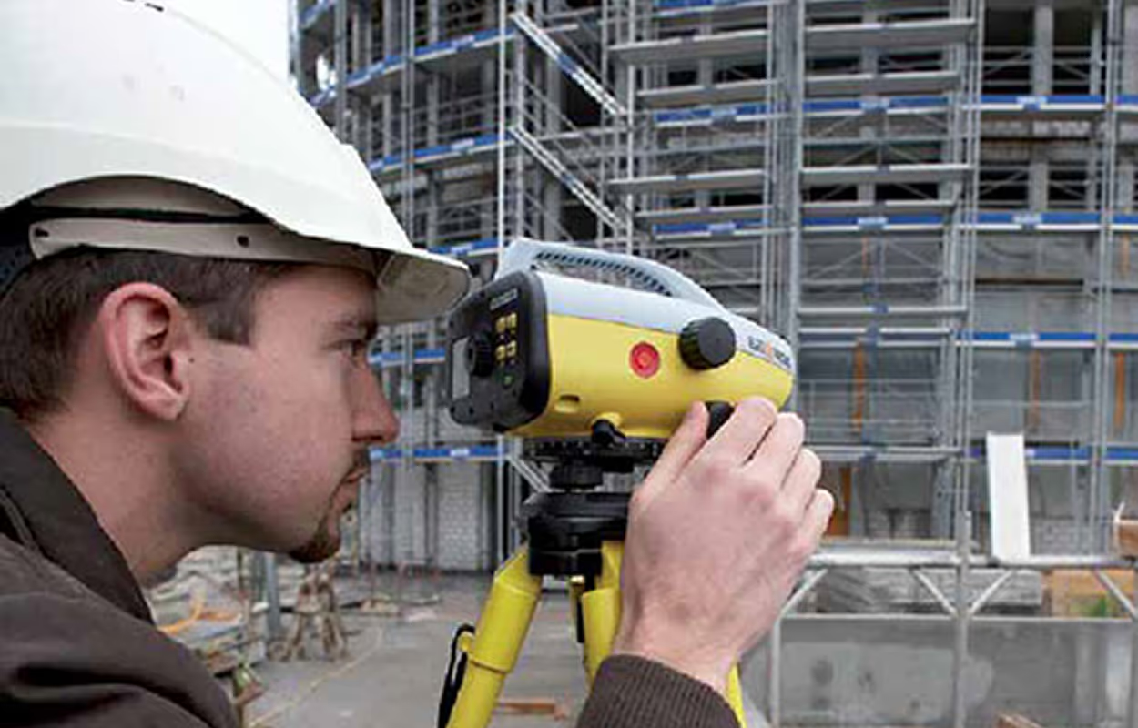
AI point cloud to CAD is transforming how surveyors turn massive scan datasets into usable deliverables. Teams once spent days manually tracing walls and openings, or outsourcing at high cost, just to produce drawings that clients could actually use. Now, automation makes it possible to finish the same work in hours with greater accuracy.
If you’re new to the fundamentals of converting scans, start with our complete guide to point cloud to CAD. In this article, we’ll go deeper into how AI and automation are reshaping workflows, what benefits survey teams are already seeing, and where human expertise still plays a vital role.
What Is AI Point Cloud to CAD?
At its core, AI point cloud to CAD is the use of artificial intelligence to transform dense 3D scan data into clear, editable CAD drawings. Instead of spending hours tracing scans point by point, the software automatically identifies features, such as walls, openings, or structural elements and generates linework that follows your CAD standards.
Here’s how it fits into the workflow:
- Point clouds: Millions of 3D data points captured by terrestrial or mobile scanners. They provide unmatched detail but are not usable deliverables on their own.
- CAD drawings: The practical outputs clients need DWG files that can be shared, edited, and used across projects.
- AI automation: Intelligent algorithms that process the raw data, extract geometry, and apply templates with layers and blocks, producing ready-to-edit CAD drawings.
The value of AI is not just speed. By tying linework directly to the scan, it reduces errors that often slip into manual tracing or outsourced work. For survey teams under pressure to deliver consistent results, it’s becoming the standard approach.
From Manual Tracing to Intelligent Scan to CAD AI Workflows
For decades, surveyors relied on manual tracing to convert point clouds into CAD drawings. A typical workflow meant opening the scan, slicing sections, and redrawing each wall, opening, and measurement by hand. While it gave teams control, it also created bottlenecks:
- Projects could take 30 to 40 hours of drafting time.
- Accuracy varied depending on the skill of the drafter.
- Costs escalated when senior staff had to focus on low-value tracing.
- Outsourcing often led to inconsistent standards and extra revisions.
AI point cloud to CAD changes this picture entirely. With automation, feature selection can be turned into linework in seconds. A task that once took days can now be completed in hours. Instead of scaling teams by adding more drafters, survey firms scale with software.
The result is a shift from slow, error-prone work to intelligent, repeatable workflows where surveyors can focus on validation and client delivery rather than tracing every line.
What AI Means for Surveyors
For survey teams, the adoption of AI point cloud to CAD is not just about efficiency. It fundamentally changes how projects are delivered. Instead of redrawing every element, surveyors can guide the software, review results, and deliver drawings that are both faster and more reliable.
Key benefits surveyors report include:
- Faster turnaround: Projects that once took a week can be completed in two to three days.
- Reduced errors: Linework ties directly to the scan, lowering the chance of misinterpretation.
- Lower costs: Less reliance on outsourcing or senior staff for drafting.
- Consistent standards: DWG templates ensure every deliverable follows company conventions.
Importantly, AI does not replace the expertise of a surveyor. Instead, it removes repetitive tasks so professionals can focus on higher-value activities like quality assurance, client communication, and project planning
The Role of Automation in Point Cloud Workflows
Automation in point cloud to CAD is not about replacing surveyors. It is about supporting them with tools that handle the heavy lifting. Instead of spending hours tracing walls or aligning points manually, surveyors now spend minutes validating outputs and confirming accuracy.
Automation contributes to workflows by:
- Handling complexity: Millions of points can be processed without slowing down projects.
- Maintaining standards: DWG templates, layers, and blocks are applied automatically.
- Scaling capacity: Teams can deliver more projects without adding extra staff.
Human expertise remains essential. Surveyors provide context, interpret site-specific conditions, and ensure that deliverables match client requirements. The difference is that with automation, these professionals apply their skills where they matter most instead of being tied up in repetitive drafting.
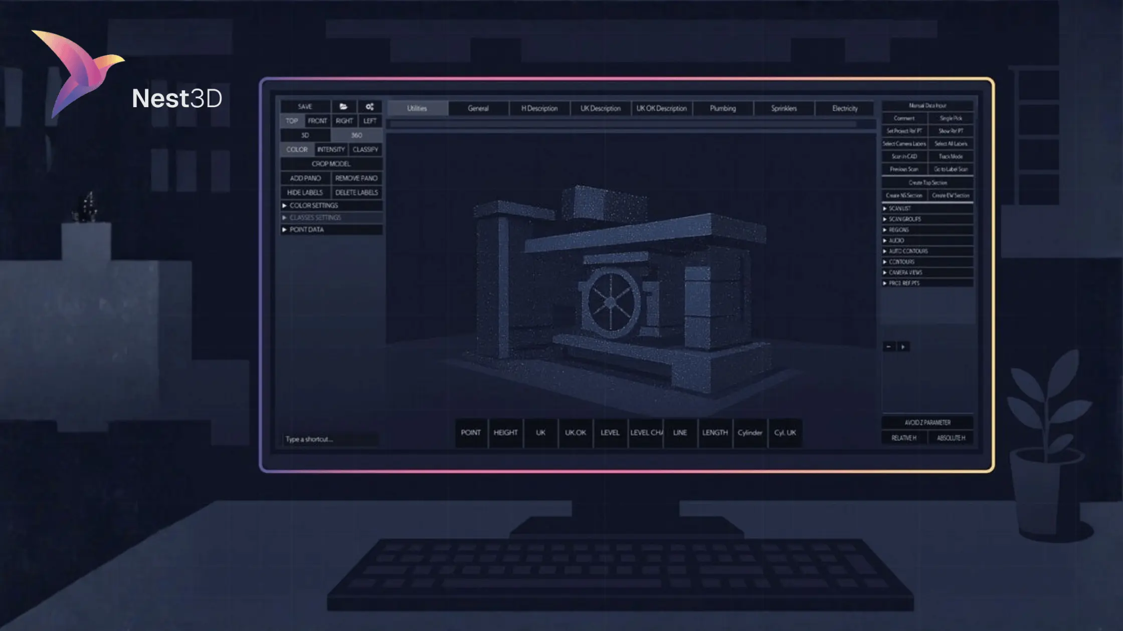
Why Nest3D Is Part of the Future
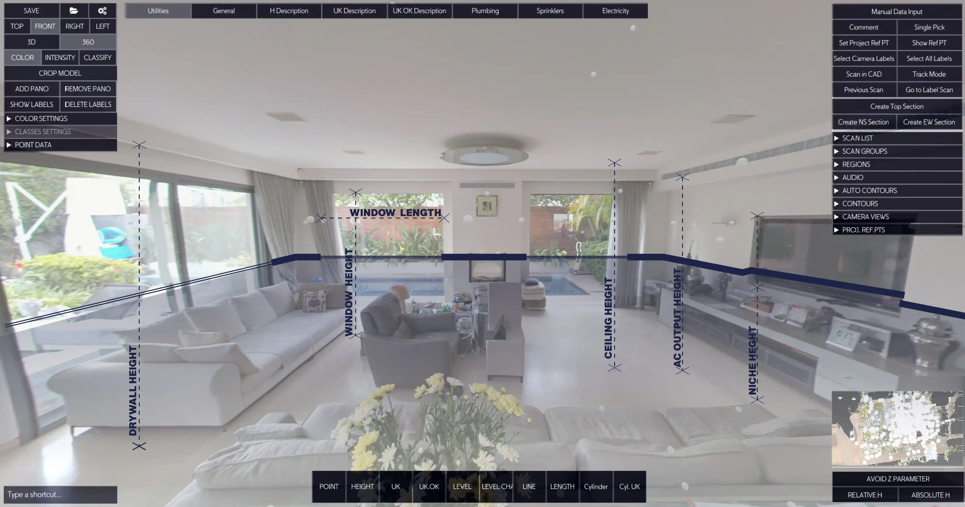
Nest3D was built with automation and AI at its core. Instead of stopping at visualization or cleaning scans, it goes further by generating accurate CAD deliverables directly inside AutoCAD, BricsCAD, and ZWCAD.
Survey teams using Nest3D highlight several advantages:
- One-click wall extraction from complex scans.
- 360° image navigation for intuitive feature selection.
- Full scan precision preserved in every drawing.
- DWG template integration so outputs always match company standards.
The impact is measurable. Survey firms report up to 60 percent faster drafting, 50 percent lower costs, and more reliable deliverables that clients trust. With Nest3D, automation is not a future promise — it is already a working solution that transforms how surveyors approach scan to CAD.
Preparing for the Next Era
The adoption of AI point cloud to CAD is accelerating across the surveying industry. What was once an experimental technology is quickly becoming the baseline for competitive firms. Those who embrace automation now are positioning themselves to lead in the next decade.
Firms that adapt early gain advantages such as:
- Delivering projects faster than competitors still relying on manual methods.
- Reducing overhead costs while increasing project margins.
- Building client trust through consistent, accurate deliverables.
The next era of surveying will be defined by efficiency, reliability, and scalability. Teams that integrate AI into their scan to CAD workflows today will not only keep up with demand but will also set the standard for how projects are delivered tomorrow.
AI Scan to CAD: The New Standard
What was once called automation is now widely recognized as AI scan to CAD. These tools use intelligent algorithms to detect features, apply CAD standards, and generate deliverables that are both accurate and consistent.
For surveyors, this shift is more than a productivity boost. It changes the nature of the work:
- AI handles repetition, freeing professionals to focus on higher-value decisions.
- Standards are built in, so every drawing aligns with templates and client expectations.
- Speed and accuracy improve together, making it possible to take on more projects without increasing staff.
As AI scan to CAD becomes mainstream, firms that embrace it early will enjoy an edge in speed, cost, and reliability.
Conclusion: The Future of Point Cloud to CAD Is AI
The shift from manual tracing to automation has already transformed surveying, but the real breakthrough is happening with AI scan to CAD. Surveyors no longer need to spend days redrawing linework or outsourcing at high costs. Instead, they can deliver accurate DWG drawings up to 60 percent faster, with consistent standards that clients trust.
For firms under pressure to cut costs, meet deadlines, and deliver quality, AI is no longer optional. It is the future of point cloud to CAD — and the teams that adopt it today will define the industry standard tomorrow.
Turn Point Clouds into CAD in Seconds
Cut drafting time by 60 percent and deliver accurate DWG drawings without manual tracing. Try Nest3D free for 14 days with no credit card required.
Get Started for Free
.svg)


.svg)
