

Introduction: Why Look for a Scan2CAD Alternative?
If you searched for a Scan2CAD alternative, you are not alone. Many teams exploring ways to speed up drafting from scans quickly discover Scan2CAD, but also realize it has clear limits.
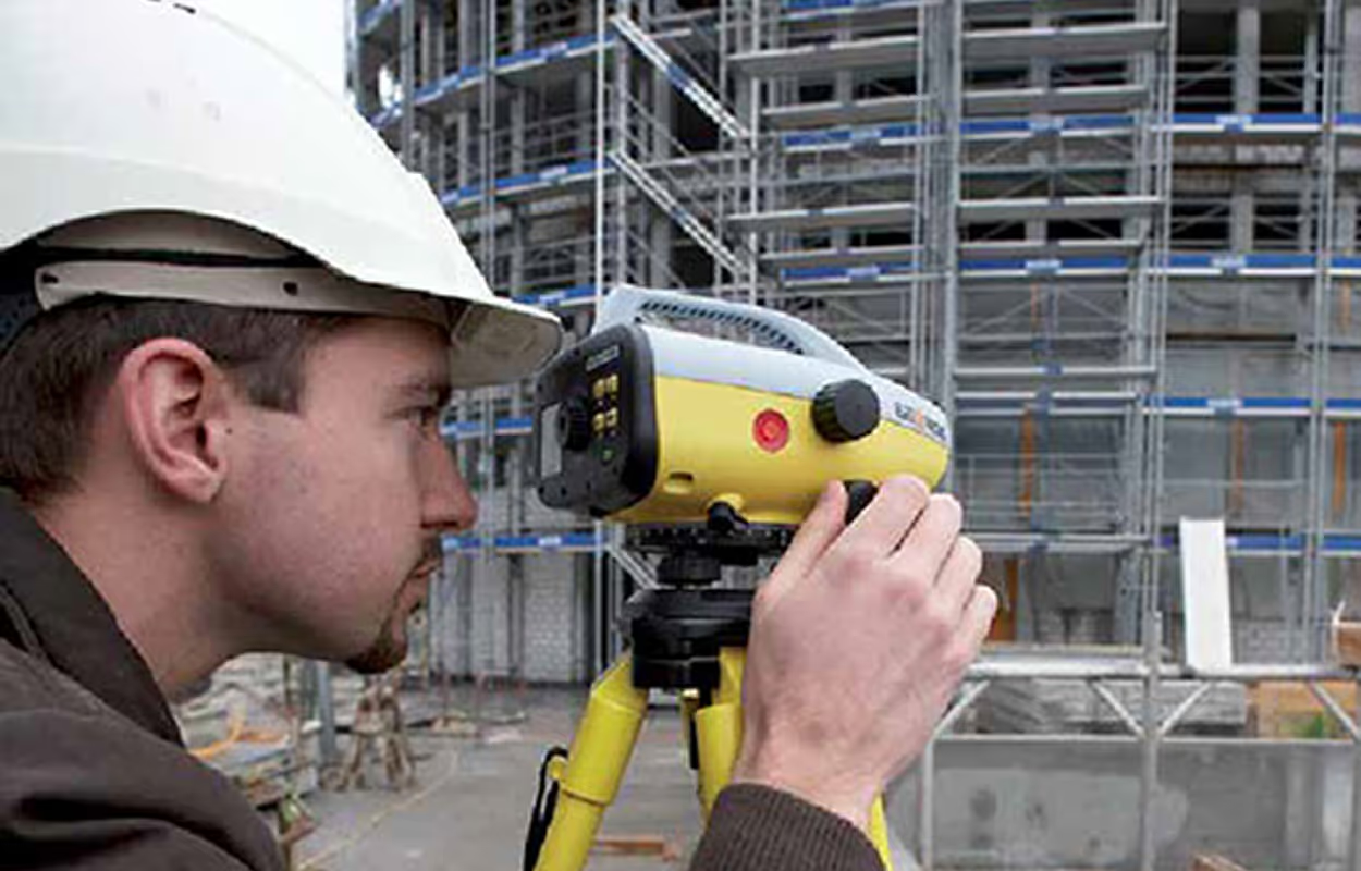
Scan2CAD is designed to convert raster images, PDFs, and simple vectors into editable CAD files. This makes it useful for digitizing paper archives or legacy drawings, but it does not handle point clouds such as E57 or FLS, which are now the standard for laser scanning and LiDAR projects.
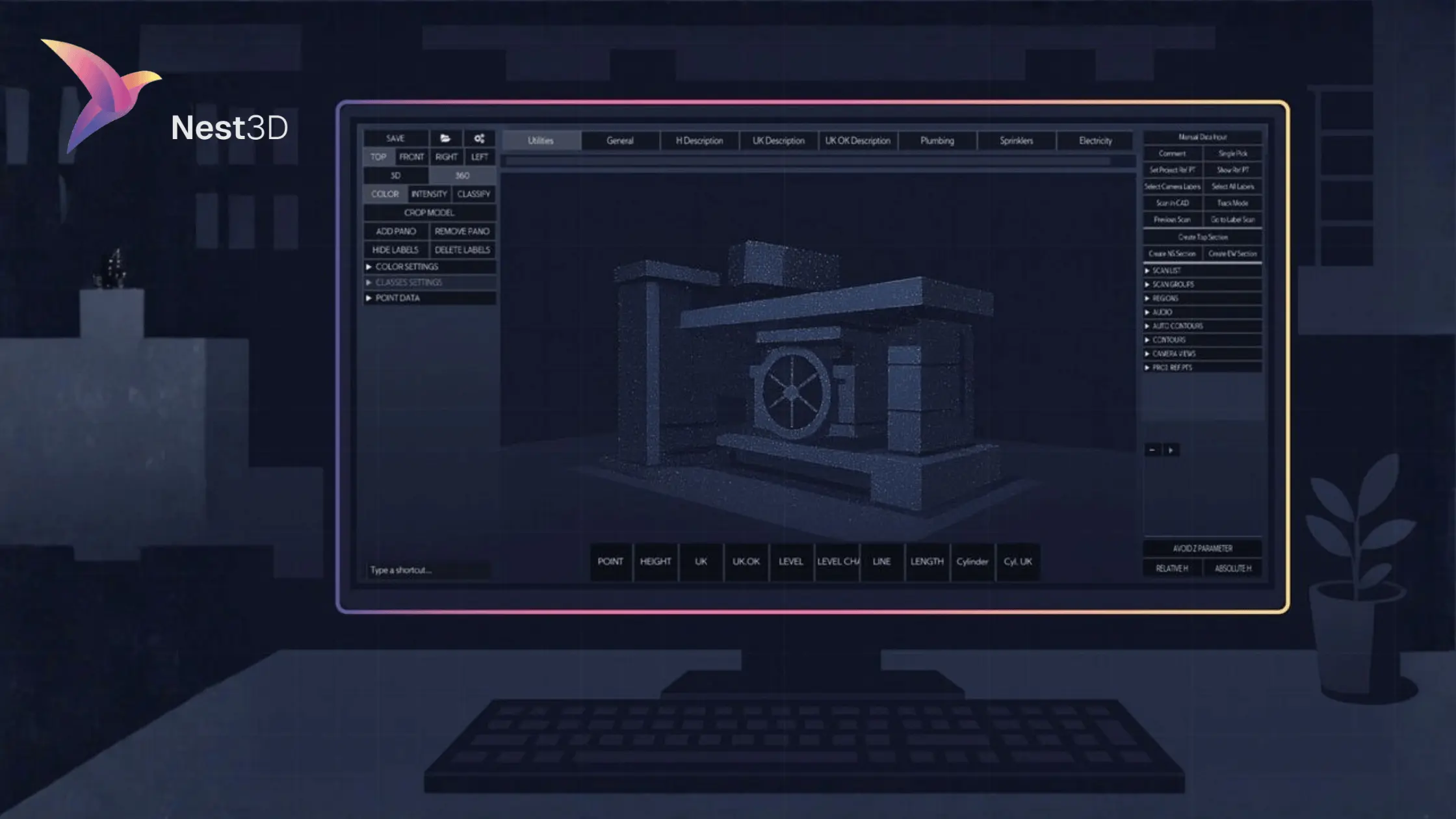
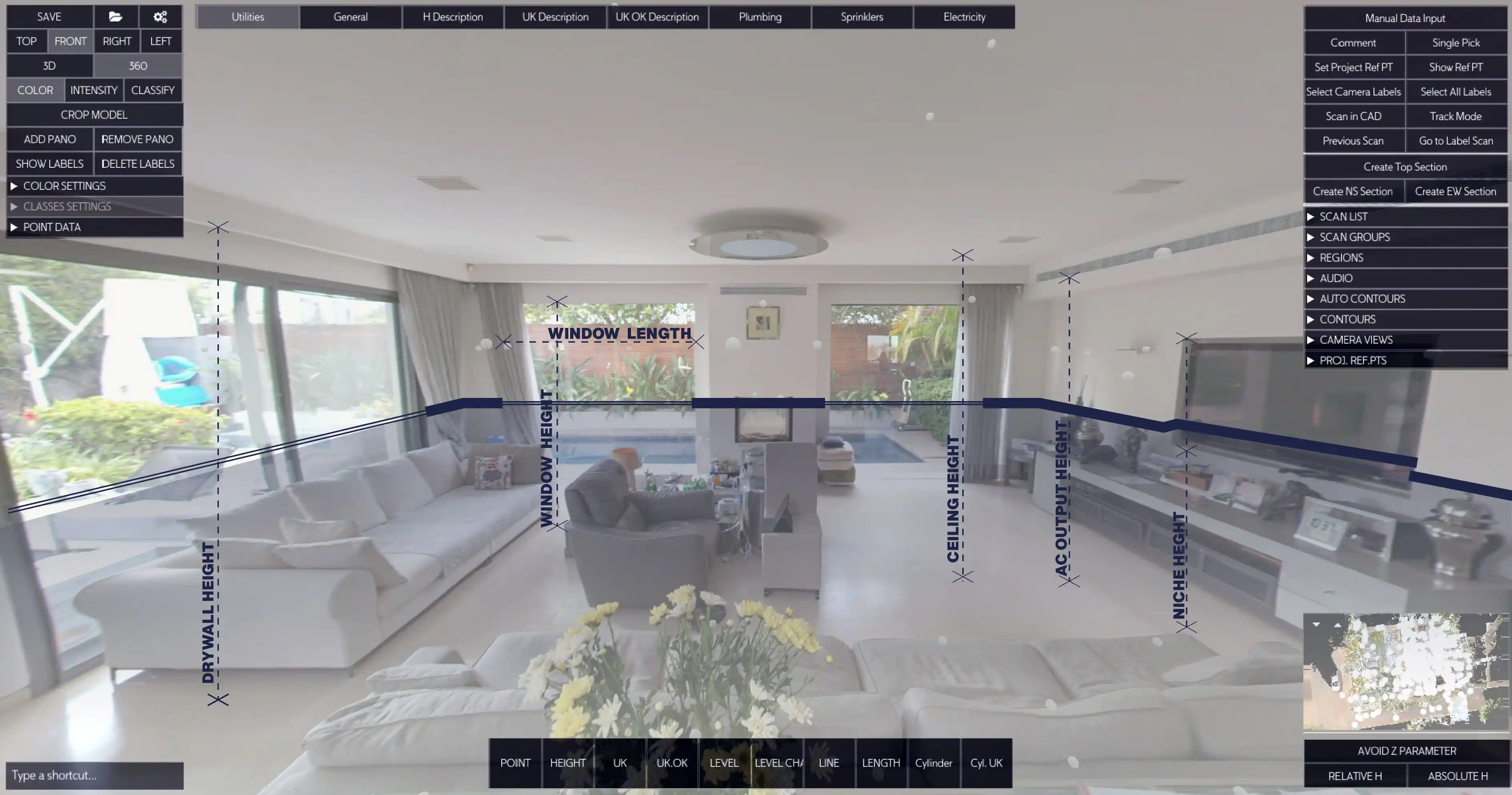
That gap is where Nest3D comes in. Nest3D is purpose-built for point cloud workflows. Instead of redrawing or cleaning up raster files, it lets you navigate a 360-degree scan, click features, and see measured geometry appear instantly in DWG inside AutoCAD, BricsCAD, or ZWCAD.
This article compares Nest3D vs Scan2CAD side by side so you can decide which tool fits your projects best and whether switching to a dedicated point cloud solution is the smarter move for your team.
What Scan2CAD Does Well
Scan2CAD is widely known as a raster-to-CAD converter. It takes inputs like scanned paper drawings, TIFFs, PDFs, and basic vector files and turns them into editable CAD linework. For offices with shelves of old plans or contractors who frequently receive raster schematics, this can save significant time compared to redrawing everything by hand.
Some of the core strengths include:
- Raster to vector conversion for scanned drawings and images
- OCR text recognition that turns printed text into editable CAD annotations
- Batch processing that allows hundreds of files to be converted overnight
- Vector cleanup tools to refine converted geometry before export
For teams focused on digitizing archives or handling legacy documents, Scan2CAD delivers value by automating repetitive raster-to-vector tasks.
Where Scan2CAD Falls Short
While Scan2CAD is strong for raster work, it is not designed for modern point cloud workflows. If your projects involve LiDAR scans or reality capture, you will quickly notice the limits:
- No direct point cloud support: Formats like E57 and FLS cannot be used natively.
- No 360-degree navigation: You cannot move through a panoramic view of the site to extract features.
- Extra cleanup required: Converted linework often needs restyling, scaling, or layering to match CAD standards.
- Not built for survey accuracy: Without direct use of measured scan data, the process introduces more manual steps.
These gaps make Scan2CAD better suited to digitizing archives and paper plans, not delivering precise CAD drawings from laser scans. For teams adopting 3D capture, this creates an immediate need for a faster, scan-first alternative.
Nest3D as the Best Scan2CAD Alternative
If your work involves point clouds from laser scanners, Nest3D is built specifically for you. Instead of trying to adapt raster conversion tools to modern workflows, Nest3D connects directly to E57 and FLS scans and turns them into production-ready CAD drawings.
With Nest3D you can:
- Load point clouds instantly and navigate a full 360 degree panorama of the site
- Click to extract walls, levels, pipes, cylinders, and survey points directly from the scan
- Stream geometry in real time into DWG inside AutoCAD, BricsCAD, or ZWCAD
- Save an average of 60 percent drafting time compared to slice and trace methods
- Distribute tasks across the team, allowing juniors to handle extraction while seniors focus on QA
For teams looking for a Scan2CAD alternative, Nest3D is not just different software. It is a faster and more accurate way to get from scan to CAD, designed for the projects firms are running today.
Pricing Snapshot
Transparent pricing matters when you are choosing a Scan2CAD alternative. Nest3D keeps it simple:
- Pro: 79 USD per user per month, billed annually
- Team: 99 USD per user per month, billed annually, includes collaboration and sharing
Scan2CAD offers subscription and perpetual licences, but pricing varies by tier and promotions. If your everyday work involves point clouds, one Nest3D licence is typically covered by a single project based on the 60 percent average time savings.
FAQs
Conclusion: Nest3D is the Smarter Scan2CAD Alternative
Scan2CAD has a place if your work is centered on raster plans and PDFs. But if your projects involve point clouds, you need a tool designed for that workflow. Nest3D connects directly to E57 and FLS scans, lets you navigate in full 360 degrees, and turns features into production-ready DWG drawings inside AutoCAD, BricsCAD, or ZWCAD.
The result is faster drafting, fewer manual steps, and measurable ROI. On average, teams save 60 percent of drafting time and cover the cost of a Nest3D licence in a single project.
If you are searching for the best Scan2CAD alternative, the choice is clear.
Turn Point Clouds into CAD in Seconds
Cut drafting time by 60 percent and deliver accurate DWG drawings without manual tracing. Try Nest3D free for 14 days with no credit card required.
Get Started for Free
.svg)


.svg)
